Self-guided Henro Trail Walking (35th temple - 36th temple)

Henro is the term for the Shikoku Pilgrimage to 88 sacred temples dotted around the island of Shikoku, where it is said that the Buddhist monk Kobo Daishi (Kukai) performed ascetic religious practices. The pilgrimage road stretches over 1200km through all four prefectures on the island. The whole journey can take a month or two on foot, but pilgrims can also make the journey in part because there are no strict rules on which temples to visit or how many in total. Anyone can be a pilgrim (ohenro-san) regardless of nationality or religion, and all are sure to receive a warm welcome from the locals.
This is 1-day self-guided henro trail course for Kiyotaki-ji (35th temple) and Shoryu-ji (36th temple) .
Route: JR Kochi Station - JR Ino Station - Kiyotaki-ji Temple - Shoryu-ji Temple - Onsen ryokan Sanyo-so (overnight stay) - Kochi City
Distance: 16 km (5 hrs 30 mins - 6 hrs 30 mins)
Elevation: 185 m at Tsukaji Pass
Course overview
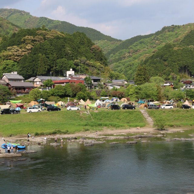
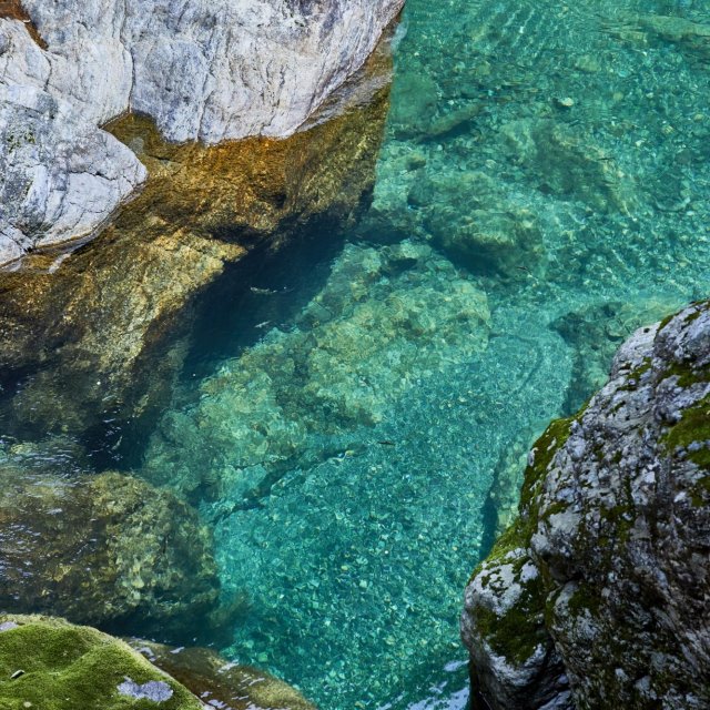
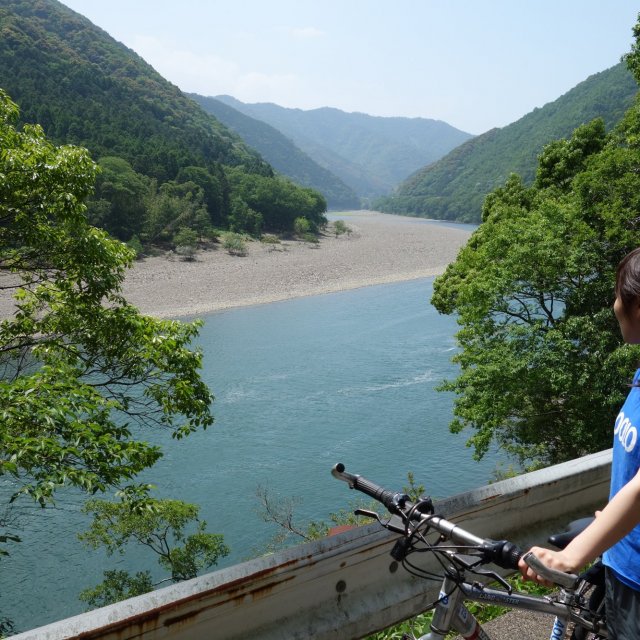
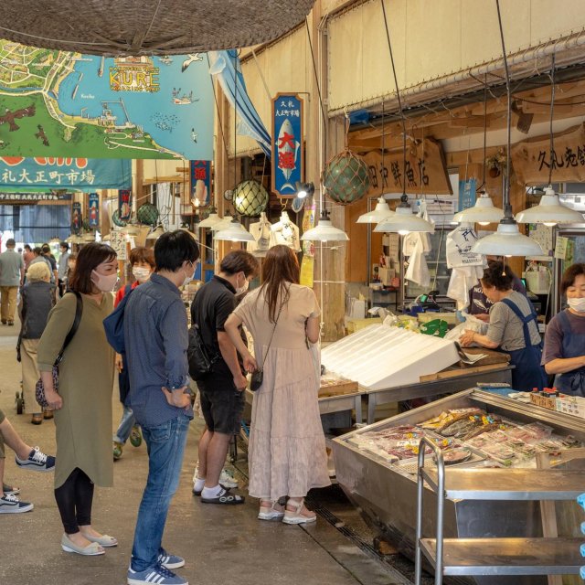
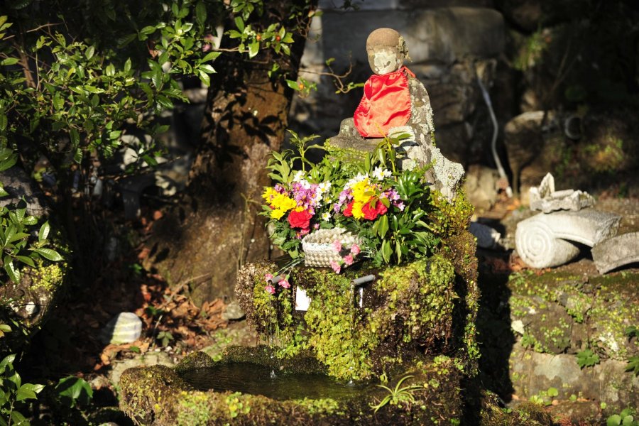
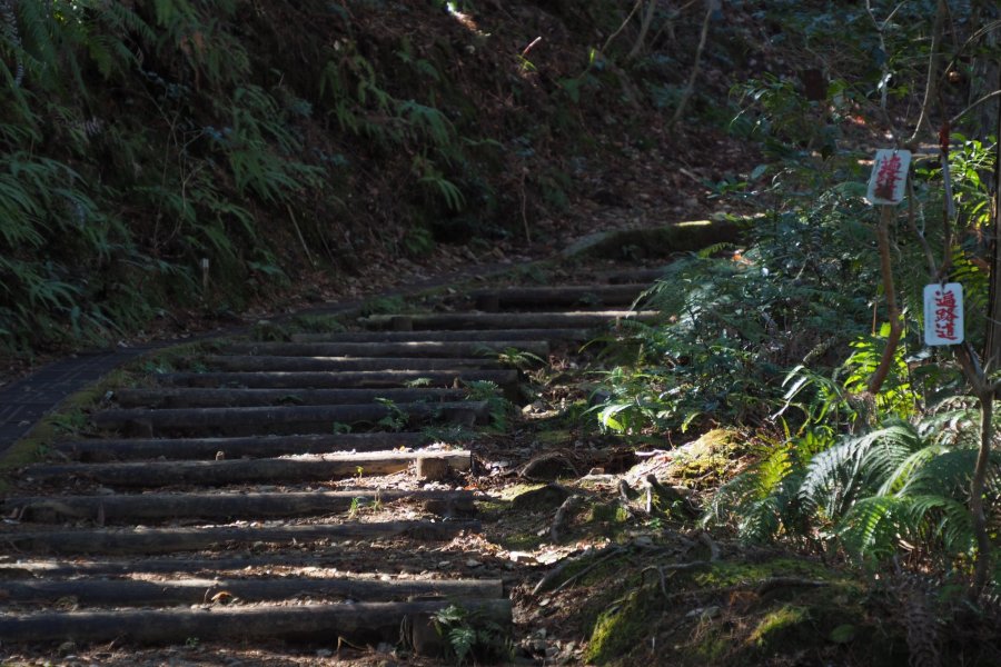
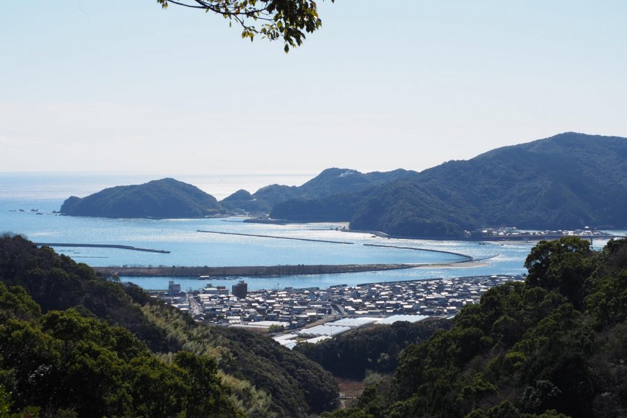
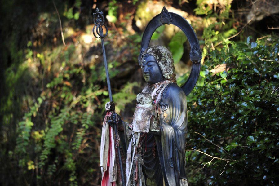
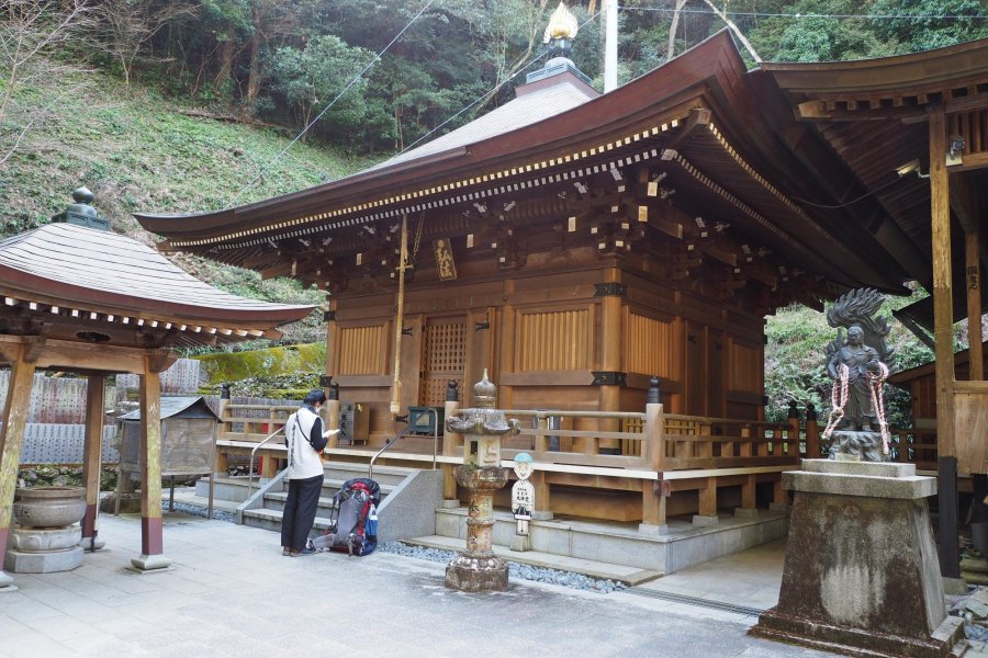
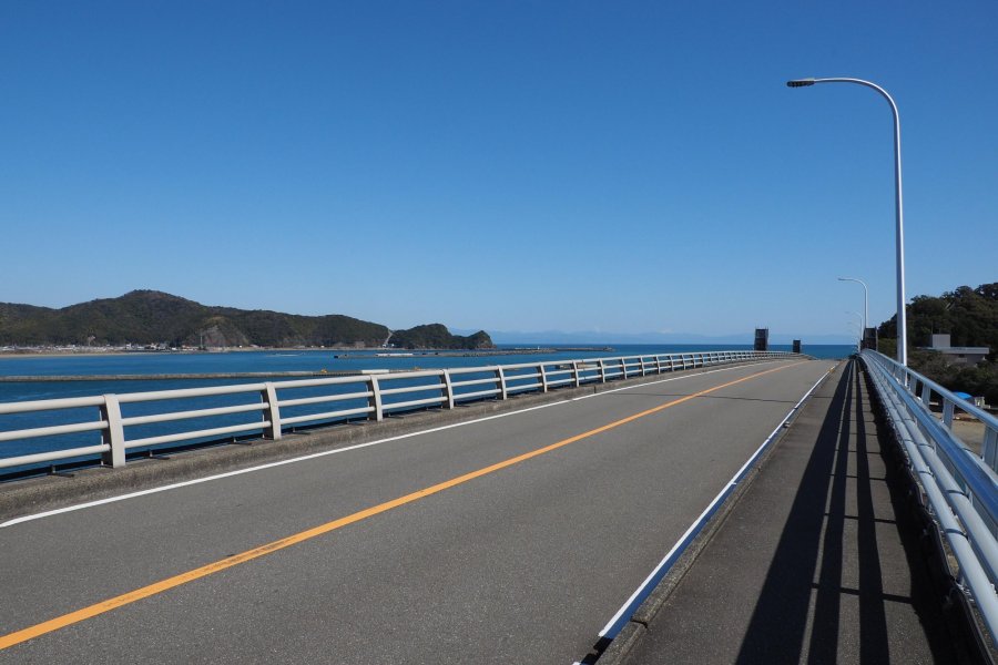
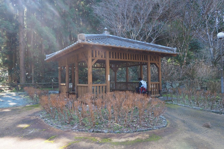
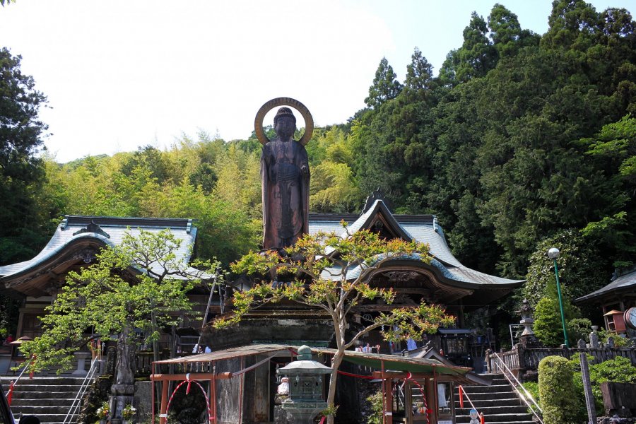
Take a taxi from JR Ino Station to Kiyotaki-ji (35th Temple). From the temple precincts, you can look out over the clear waters of the Niyodo River and the Pacific Ocean. From Kiyotaki-ji, head south in the direction of Shoryu-ji (36th Temple). After walking through Tosa City, you will reach the Tsukaji Pass, which has the feel of an ancient road. The pilgrimage road that crosses the Tsukaji Pass is known as the Shoryu-ji Trail, which has been designated as a National HIstoric Site. After crossing the pass, you will descend into the region around the fishing town Usa. After passing through the town, proceed along the Pacific Ocean to Usa Ohashi bridge. After crossing the bridge, turn right and head for the old road Inoshiri Pass. After crossing this pass, follow the signposts until you reach Shoryu-ji. After visiting the temple, stay at the Sanyo-so onsen ryokan (hot spring inn) before returning to Kochi City the following day on the ryokan's shuttle bus.
Henro Trail Guide Kochi Japan (35th Kiyotaki-ji - 36th Shoryu-ji)
The guide maps are available for download at the following links.
Henro Trail Guide (35th - 36th)_overview
Henro Trail Guide (35th - 36th)_page 1
Henro Trail Guide (35th - 36th)_page 2-4
Henro Trail Guide (35th - 36th)_page 5-13
Henro Trail Guide (35th - 36th)_page 14-17
Henro Trail Guide (35th - 36th)_page 18-24
Henro Trail Guide (35th - 36th)_page 25-34
*This Trail Guide prioritizes routes that avoid paved roads with heavy traffic as much as possible to heighten the experience of henro trail walking. Such routes including old trails may not be displayed on road maps or map apps. The guide also introduces routes in some places that differ from the commonly known walking henro routes.
This is 1-day self-guided henro trail course for Kiyotaki-ji (35th temple) and Shoryu-ji (36th temple) .
Route: JR Kochi Station - JR Ino Station - Kiyotaki-ji Temple - Shoryu-ji Temple - Onsen ryokan Sanyo-so (overnight stay) - Kochi City
Distance: 16 km (5 hrs 30 mins - 6 hrs 30 mins)
Elevation: 185 m at Tsukaji Pass
Course overview
Take a taxi from JR Ino Station to Kiyotaki-ji (35th Temple). From the temple precincts, you can look out over the clear waters of the Niyodo River and the Pacific Ocean. From Kiyotaki-ji, head south in the direction of Shoryu-ji (36th Temple). After walking through Tosa City, you will reach the Tsukaji Pass, which has the feel of an ancient road. The pilgrimage road that crosses the Tsukaji Pass is known as the Shoryu-ji Trail, which has been designated as a National HIstoric Site. After crossing the pass, you will descend into the region around the fishing town Usa. After passing through the town, proceed along the Pacific Ocean to Usa Ohashi bridge. After crossing the bridge, turn right and head for the old road Inoshiri Pass. After crossing this pass, follow the signposts until you reach Shoryu-ji. After visiting the temple, stay at the Sanyo-so onsen ryokan (hot spring inn) before returning to Kochi City the following day on the ryokan's shuttle bus.
Henro Trail Guide Kochi Japan (35th Kiyotaki-ji - 36th Shoryu-ji)
The guide maps are available for download at the following links.
Henro Trail Guide (35th - 36th)_overview
Henro Trail Guide (35th - 36th)_page 1
Henro Trail Guide (35th - 36th)_page 2-4
Henro Trail Guide (35th - 36th)_page 5-13
Henro Trail Guide (35th - 36th)_page 14-17
Henro Trail Guide (35th - 36th)_page 18-24
Henro Trail Guide (35th - 36th)_page 25-34
*This Trail Guide prioritizes routes that avoid paved roads with heavy traffic as much as possible to heighten the experience of henro trail walking. Such routes including old trails may not be displayed on road maps or map apps. The guide also introduces routes in some places that differ from the commonly known walking henro routes.